Where Ecology and Conservation meet Technology
Achieving optimal, customized solutions for unique challenges.
Map the Point is a small, women-owned and operated business focused on supporting environmental conservation and sustainability. We provide custom solutions to data management, mapping and visualization services tailored to the unique needs of small to mid-sized organizations. With over 20 years in land management in the Conservation and Science community, we have demonstrated commitment to helping habitat and ecosystems become optimally resilient. We work wherever needed to help create healthy lands and communities as the challenges grow with rapid climate change, ongoing human development, and expanding invasive species.
Our Services

Geographic Information Services
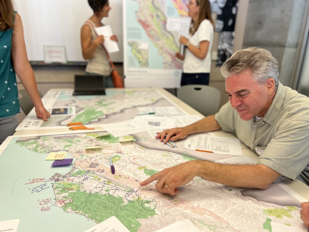
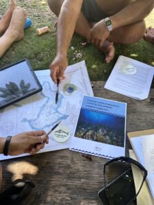
Sarah Godfrey has worked in Geographic Information Systems (GIS) and mapping systems for over two decades, designing strategies for nonprofit organizations to enhance their data collection and communicate this information to the public as well as local, State, and Federal agencies. Designing effective communication systems between agencies requires not only the development of annual work plans, annual reporting, and long-term management plans, but the capacity to capture information and deliver it as needed with mobile field solutions to support dynamic change. This has involved using the Environmental Systems Research Institute (Esri) ArcGIS Online platform to create applications that are custom to the needs of each organization and features robust options for data collection, organization, and visualization. MTP has engaged stakeholders in many scales of local and regional planning efforts, including development of the Trust for Public Land’s Central Coast Climate Initiative, and used the information to develop reports with real-life implementation strategies.
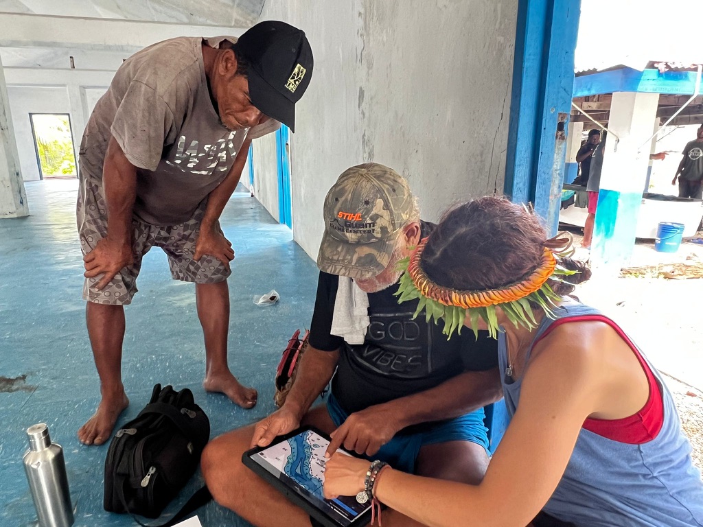
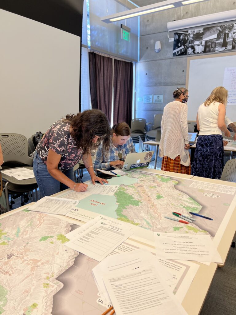
An important component of conservation strategy and stakeholder engagement is redefining these terms, and ensuring that the right players are at the table to have complex conversations. Asking questions such as “what and who are we conserving from” helps to guide the conversation and integrate ideas that are informed at the local level by addressing community needs. Community engagement and buy-in with relevant technology allows people to develop their own solutions to the issues that they face.
Geographic Information Systems (GIS) are [arguably] a critical component of any community or regional planning activity. The use of aerial imagery and a GIS of documented resources can identify needs, quantify relationships, and examine resources in an unparalleled way. This requires a sensitivity of action, engagement, understanding, and collaboration that are exemplified by Jane Goodall’s Tacare Approach. Map the Point uses these foundational principles to approach each project, working with the unique players and defining the challenges to design customized solutions.
Building a comprehensive mapping system that efficiently analyzes information and communicates to its desired audience is predicated on two core components- leveraging relevant technology and acquiring accurate data. The former component requires building a foundational geospatial capacity and strategy which is affordable and accessible for your organization. The latter is derived from the ability to engage with stakeholders, acquire information, and integrate into a system which is scalable, revisable, meaningful and perpetual. Map the Point has the capabilities, vision, and technological skills to design a customized geographic information system which utilizes available resources and optimizes data organization with the necessary engagement components.

Database Organization
Many nonprofit organizations have legacy data that has been collected in a multitude of formats throughout the years, and it is a challenge to sift through it for important trends and analysis; you can’t move forward without knowing what you already have or how to communicate that information. We can help you to organize your data so that it is easier to integrate new field collected data, from a customized mobile application that we can also develop for you. With an organized dataset, you increase your capacity to communicate your unique resources to the global community.

Management Planning
Whether you are getting ready for 30 x 30, looking to obtain or spend grant funding, now is the time to take action and contract our services. We will guide you in the programmatic development of comprehensive management plans and project implementation outlines to develop budgets and get projects off the ground! Combining the technical GIS expertise and skills of community engagement to identify culturally relevant tools to document resources, Map the Point will listen to your needs and design a custom solution.

Integrated Pest Mgmt.
We provide pest management program design and invasive species removal projects customized to scale. With a Qualified Applicator Certificate with the Department of Pesticide Regulation since 2003, we integrate best pest management practices. We have developed policies and programs to train staff in non-chemical techniques for invasive plant management and habitat restoration. We can help your organization develop practices, policies, and procedures to address your most challenging invasive pest issues.

Management Planning
Develop long-term management plans for your sites that capture current conditions and plan appropriately for future needs. With this plan, you can accurately budget for projects, understand your capacity and share with other organizations
About
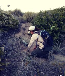
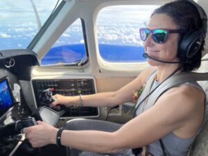
Map the Point is owned and operated by Sarah Godfrey. Sarah is an experienced professional with over 25 years working in Conservation GIS and natural lands management. She has a passion for working in unique partnerships to develop creative solutions to the complex challenges that our global climate presents. This leadership in community mapping and engagement has made Sarah a prominent expert in the field, and she travels around the world to use her compassion, empathy, and GIS skills to support communities and habitats.
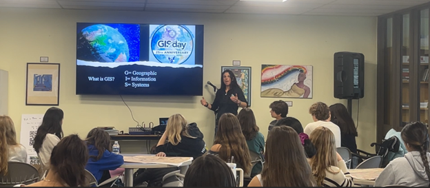
Collaborations with nonprofit environmental organizations and universities allow Sarah to continue research on endangered species and habitat through high accuracy data collection, organization, and visualization. She also uses her work to support GIS education while contributing to the Conservation GIS field. She has hosted high school GIS education days, spoken at University campuses on the importance of using culturally relevant tools for improving data collection and decision support, and participates in regional working groups in California and Rhode Island. Sarah develops custom trainings for organizations such as the Society for Conservation Biology’s Smith Fellows StoryMaps workshop to help communicate conservation issues to a variety of audiences.
With the experience of implementing fuel reduction projects that resulted in protection of over $50 million in homes during catastrophic wildfires, Sarah knows how to get work accomplished on the ground. She effectively combines her expertise in habitat restoration with partnerships and funding at local, State, and federal levels.
Sarah’s experience working in invasive species removal has been a significant part of her professional career. In 2007, she was a contributing editor of the California Invasive Plant Council’s (Cal-IPC) “Preventing the Spread of Invasive Plants: Best Management Practices for Land Managers” guide (downloadable here). She continues to serve on the board of Cal-IPC, contributing to and learning from the wealth of advocacy and management work of the organization.
Sarah has given numerous presentations at the Cal-IPC Symposia, Environmental Systems Research Institute (Esri) User Conferences, as well as other forums. She is articulate at communicating strategies, process, and results to diverse audiences, in addition to designing the technology that documents your work and analyzes the results.
Reach out today to find out what Map the Point can do for you.

The Pelecanus, Inc. Podcast
In this episode of Conservation Conversations, Korie Merrell and Sarah Godfrey talk about preserve management for endangered species and habitats in Southern California. Sarah’s expertise in working with the endangered Pacific Pocket Mouse (Perognathus longimembrus ssp Pacificus) is highlighted in this interview.